README 未说明依赖版本约束,PyTorch 等框架需自行匹配环境;基础模型需按 HuggingFace ID 另行下载;QGIS 功能需单独安装插件,不在 pip 包内。
geoai
opengeosMIT活跃维护面向地理空间数据的 AI 工具包,基于 PyTorch 提供遥感影像分割、地球观测分析等深度学习模型的训练与推理能力。
GeoAI: Artificial Intelligence for Geospatial Data
v0.43.1发布于 2026-09-21 20:43 UTC3,463star +1 / 7 天497fork同步于 2026-11-10 23:41 UTC
pip install geoai-py 硬件要求按 README 说明
README 未给出具体显存或 GPU 型号要求,仅说明在可用时自动启用 GPU 加速;未提及纯 CPU 运行的支持情况。
把深度学习接到遥感与矢量数据上的 Python 包,少写代码就能做地物分割、分类和变化检测
面向地理空间数据的 AI 工具包,基于 PyTorch 提供遥感影像分割、地球观测分析等深度学习模型的训练与推理能力。
核心能力
- 统一封装 PyTorch、Transformers 与分割模型库
- 搜索下载 Sentinel、Landsat、NAIP 等影像并做镶嵌预处理
- 自动切图生成影像块与标签,构建训练数据集
- 支持 k 折分割训练、按 IoU 选检查点与集成推理
- 内置 20 个遥感基础模型目录,可按模态与任务筛选
容易踩的坑
内容由模型根据 README 生成,可能不完整或不准确,以官方文档为准。看原文 README
- v0.43.1最新正式版2026-09-21 · 2026-09-21 20:43 UTC
v0.43.1
Features
- Load object detector weights from
.safetensorscheckpoints, avoiding pickle deserialization and carrying checkpoint metadata (#915)
Bug fixes
- Rename
ParkingSplotDetectortoParkingSpotDetector, keeping the misspelled name as a deprecated alias (#915) - Publish the parking spot weights to the Hub, so
ParkingSpotDetector()works with no arguments (#915) - Use
eighfor the PCA dominant direction, for NumPy 2.5 compatibility (#914) RasterToVectorSteppassedoutput=whereraster_to_vectorexpectsoutput_path=(#899)
Documentation
- Add a parking spot segmentation example using SAM3 through segment-geospatial (#916)
- Add a Hugging Face authentication guide for SAM 3 (#898)
CI
- Add Claude code review with a
claude-reviewlabel opt-in (#912) - Bump anthropics/claude-code-action from 1.0.223 to 1.0.230 (#913)
QGIS plugin: 1.8.1
Full changelog: https://github.com/opengeos/geoai/compare/v0.43.0...v0.43.1
- Load object detector weights from
- v0.43.02026-09-03 · 2026-09-03 22:16 UTC
查看更新说明
v0.43.0
Features
- Optically shallow/deep water classification (#875)
- Early stopping for Mask R-CNN training (#887)
Bug fixes
- Improve canopy checkpoint loading (#895)
CI
- Allow the Claude review workflow to check out fork PR heads (#879)
- Harden
claude-code-review.yml(#878) - Skip docs preview deploy for Dependabot pull requests (#877)
- Bump actions/setup-python from 6 to 7 (#874)
- Bump anthropics/claude-code-action from 1.0.183 to 1.0.210 (#892)
Dependencies
- pygments >=2.21.0 (#890)
- leafmap >=0.63.1 (#882)
QGIS plugin: 1.8.0
Full changelog: https://github.com/opengeos/geoai/compare/v0.42.0...v0.43.0
- v0.42.02026-07-25 · 2026-07-25 14:43 UTC
查看更新说明
v0.42.0
Features
- vLLM inference backend for open-source model deployment (#868)
- UniverSat wrapper support (#860)
Bug fixes
- Make quiet/verbose flags actually suppress progress bars (#871)
Docs
- Add mining footprint mapping notebook (#869)
CI
- Stop
uv runfrom re-resolving the project in the docs workflow (#872) - Replace Netlify docs preview with gh-pages preview (#867)
- Add automated Claude code review workflow for pull requests (#862)
- Bump actions/checkout from 6 to 7 (#863)
QGIS plugin: 1.7.0
Full changelog: https://github.com/opengeos/geoai/compare/v0.41.2...v0.42.0
- v0.41.22026-07-16 · 2026-07-16 03:08 UTC
查看更新说明
v0.41.2
Bug fixes
- Allow AlphaEarth embeddings for 2017 and 2025, and fix the spatial index download (#857)
- Fix QGIS plugin install failures on paths with spaces and NumPy version skew (#855)
Docs
- Pin pixi QGIS to 3.44 to avoid the 3.42.2 qgz save regression (#856)
QGIS plugin: 1.6.2
Full changelog: https://github.com/opengeos/geoai/compare/v0.41.1...v0.41.2
- v0.41.12026-07-07 · 2026-07-07 20:58 UTC
查看更新说明
What's Changed
- chore(deps): update leafmap requirement from >=0.61.1 to >=0.63.0 by @dependabot[bot] in https://github.com/opengeos/geoai/pull/837
- fix: normalize change_confidence as cosine in [-1, 1], not a 0-145 angle by @giswqs in https://github.com/opengeos/geoai/pull/841
- Replace MkDocs with Zensical for the documentation site by @giswqs in https://github.com/opengeos/geoai/pull/842
- fix: make set_hyperparameters only update explicitly passed params by @giswqs in https://github.com/opengeos/geoai/pull/845
- fix: restore print output in print_vector_info and print_raster_info by @giswqs in https://github.com/opengeos/geoai/pull/846
- chore: bump version to 0.41.1 by @giswqs in https://github.com/opengeos/geoai/pull/847
- chore: bump qgis plugin to 1.6.1 and skip existing files on PyPI upload by @giswqs in https://github.com/opengeos/geoai/pull/848
Full Changelog: https://github.com/opengeos/geoai/compare/v0.41.0...v0.41.1
用户点评
登录用户的真实使用记录,可按版本和硬件筛选共 0 条
还没有人点评。第一个说出真实体验的人最有价值。
GeoAI: Artificial Intelligence for Geospatial Data







A powerful Python package for integrating artificial intelligence with geospatial data analysis and visualization
📖 Introduction
GeoAI is a comprehensive Python package designed to bridge artificial intelligence (AI) and geospatial data analysis, providing researchers and practitioners with intuitive tools for applying machine learning techniques to geographic data. The package offers a unified framework for processing satellite imagery, aerial photographs, and vector data using state-of-the-art deep learning models. GeoAI integrates popular AI frameworks including PyTorch, Transformers, PyTorch Segmentation Models, and specialized geospatial libraries like torchange, enabling users to perform complex geospatial analyses with minimal code.
The package provides six core capabilities:
- Interactive and programmatic search and download of remote sensing imagery and geospatial data.
- Automated dataset preparation with image chips and label generation.
- Model training for tasks such as classification, detection, and segmentation.
- Inference pipelines for applying models to new geospatial datasets.
- Interactive visualization through integration with Leafmap and MapLibre.
- Seamless QGIS integration via a dedicated GeoAI plugin, enabling users to run AI-powered geospatial workflows directly within the QGIS desktop environment, without writing code.
GeoAI addresses the growing demand for accessible AI tools in geospatial research by providing high-level APIs that abstract complex machine learning workflows while maintaining flexibility for advanced users. The package supports multiple data formats (GeoTIFF, JPEG2000, GeoJSON, Shapefile, GeoPackage) and includes automatic device management for GPU acceleration when available. With over 10 modules and extensive notebook examples, GeoAI serves as both a research tool and educational resource for the geospatial AI community.
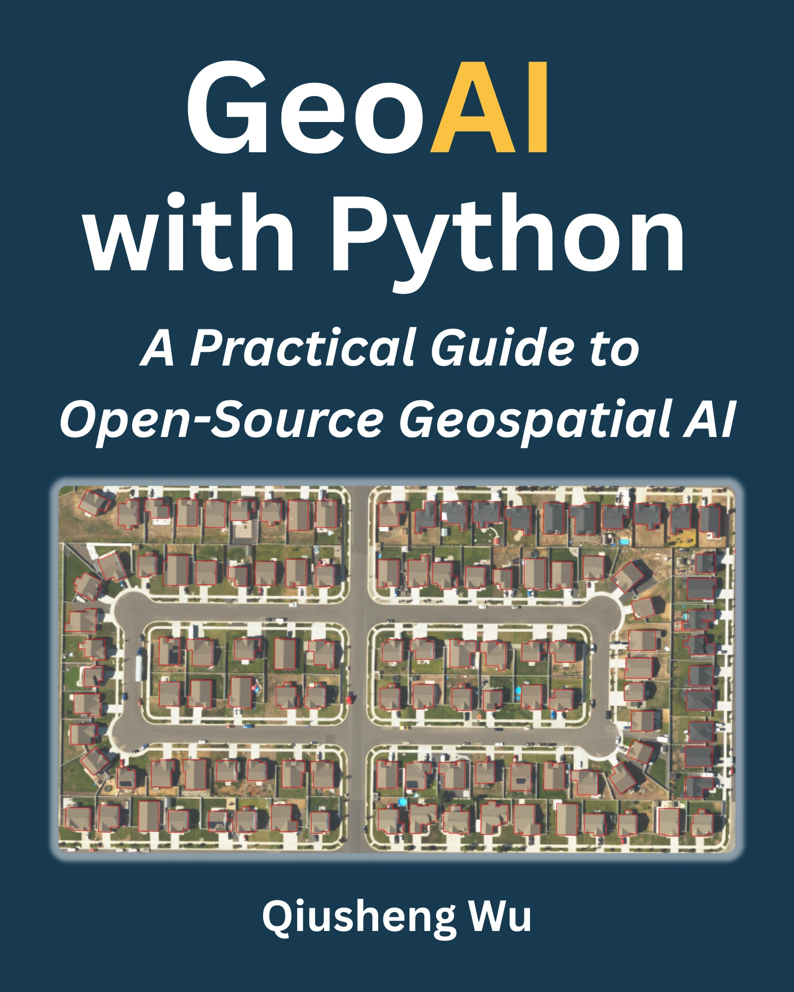
📚 Book
A comprehensive book on GeoAI is available at https://book.opengeoai.org.
📝 Statement of Need
The integration of artificial intelligence with geospatial data analysis has become increasingly critical across numerous scientific disciplines, from environmental monitoring and urban planning to disaster response and climate research. However, applying AI techniques to geospatial data presents unique challenges including data preprocessing complexities, specialized model architectures, and the need for domain-specific knowledge in both machine learning and geographic information systems.
Existing solutions often require researchers to navigate fragmented ecosystems of tools, combining general-purpose machine learning libraries with specialized geospatial packages, leading to steep learning curves and reproducibility challenges. While packages like TorchGeo, TerraTorch, and SRAI provide excellent foundational tools for geospatial deep learning, there remains a gap for comprehensive, high-level interfaces that can democratize access to advanced AI techniques for the broader geospatial community.
GeoAI addresses this need by providing a unified, user-friendly interface that abstracts the complexity of integrating multiple AI frameworks with geospatial data processing workflows. It lowers barriers for: (1) geospatial researchers who need accessible AI workflows without deep ML expertise; (2) AI practitioners who want streamlined geospatial preprocessing and domain-specific datasets; and (3) educators seeking reproducible examples and teaching-ready workflows.
The package's design philosophy emphasizes simplicity without sacrificing functionality, enabling users to perform sophisticated analyses such as building footprint extraction from satellite imagery, land cover classification, and change detection with just a few lines of code. By integrating cutting-edge AI models and providing seamless access to major geospatial data sources, GeoAI significantly lowers the barrier to entry for geospatial AI applications while maintaining the flexibility needed for advanced research applications.
Citations
If you find GeoAI useful in your research, please consider citing the following paper to support my work. Thank you for your support.
- Wu, Q., (2026). GeoAI: A Python package for integrating artificial intelligence with geospatial data analysis and visualization. Journal of Open Source Software, 11(118), 9605, https://doi.org/10.21105/joss.09605.
- Wu, Q. (2026). GeoAI with Python: A Practical Guide to Open-Source Geospatial AI. Independently published. PDF edition ISBN 979-8993859729; Print edition ISBN 979-8253507414. Available at https://book.opengeoai.org.
🚀 Key Features
📊 Advanced Geospatial Data Visualization
- Interactive multi-layer visualization of vector and raster data stored locally or in cloud storage
- Customizable styling and symbology
- Time-series data visualization capabilities
🛠️ Data Preparation & Processing
- Streamlined access to satellite and aerial imagery from providers like Sentinel, Landsat, NAIP, and other open datasets
- Tools for downloading, mosaicking, and preprocessing remote sensing data
- Automated generation of training datasets with image chips and corresponding labels
- Vector-to-raster and raster-to-vector conversion utilities optimized for AI workflows
- Data augmentation techniques specific to geospatial data
- Support for integrating Overture Maps data and other open datasets for training and validation
🖼️ Image Segmentation
- Integration with PyTorch Segmentation Models for automatic feature extraction
- Reproducible k-fold segmentation training with optional site/scene grouping, loss- or IoU-based checkpoint selection, pooled out-of-fold metrics, and probability-averaged ensemble inference
- Specialized segmentation algorithms optimized for satellite and aerial imagery
- Streamlined workflows for segmenting buildings, water bodies, wetlands, solar panels, etc.
- Export capabilities to standard geospatial formats (GeoJSON, Shapefile, GeoPackage, GeoParquet)
🔍 Image Classification
- Pre-trained models for land cover and land use classification
- Transfer learning utilities for fine-tuning models with your own data
- Multi-temporal classification support for change detection
- Accuracy assessment and validation tools
🛰️ Remote Sensing Foundation Models
- Curated catalog of 20 remote sensing foundation models via
geoai.list_foundation_models() - Filter by category (vision, vision-language, generative), modality (multispectral, SAR, hyperspectral, multimodal), or downstream task
- Retrieve full metadata (paper, code, HuggingFace ID, license) with
geoai.get_foundation_model_info() - Load TerraTorch-supported model backbones directly with
geoai.load_foundation_model() - Drawn from the Awesome Remote Sensing Foundation Models list
🌍 Additional Capabilities
- Change detection with AI-enhanced feature extraction
- Object detection in aerial and satellite imagery
- Georeferencing utilities for AI model outputs
📦 Installation
Using pip
pip install geoai-py
Using conda
conda install -c conda-forge geoai
Using mamba
mamba install -c conda-forge geoai
⚙️ QGIS Plugin
Check out the QGIS Plugin page if you are interested in using GeoAI with QGIS.
📋 Documentation
Comprehensive documentation is available at https://opengeoai.org, including:
- Detailed API reference
- Tutorials and example notebooks
- Contributing guide
📺 Video Tutorials
GeoAI Made Easy: Learn the Python Package Step-by-Step (Beginner Friendly)
GeoAI Workshop: Unlocking the Power of GeoAI with Python
GeoAI Tutorials Playlist
🤝 Contributing
We welcome contributions of all kinds! See our contributing guide for ways to get started.
📄 License
GeoAI is free and open source software, licensed under the MIT License.
Acknowledgments
We gratefully acknowledge the support of the following organizations:
- NASA: This research is partially supported by the National Aeronautics and Space Administration (NASA) through Grant No. 80NSSC22K1742, awarded under the Open Source Tools, Frameworks, and Libraries Program.
- AmericaView: This work is also partially supported by the U.S. Geological Survey through Grant/Cooperative Agreement No. G23AP00683 (GY23-GY27) in collaboration with AmericaView.
databend
databendlabs·Rust
基于 Rust 重写的云原生数据仓库,统一支持分析、搜索、AI 与 Python 沙箱,直接架在 S3 上,省去多套系统拼装。
数据仓库+4GIS / 地图
9493901v1.2.961-nightly2026-11-10 22:40 UTC

RediSearch
RediSearch·Rust
给 Redis 加上二级索引、全文检索、向量相似度搜索和聚合能力的查询索引引擎,让 Redis 直接承担搜索与 RAG 检索场景。
向量数据库+4GIS / 地图
6245600v2.10.312026-11-10 23:20 UTC

segment-geospatial
opengeos·Python
用 Segment Anything 模型对遥感影像等地理空间数据做交互式分割的 Python 包,省去自己搭建分割流程的麻烦。
地理空间分割+4GIS / 地图
4205+4451v1.4.22026-11-09 20:52 UTC

geemap
gee-community·Python
用 Python 封装 Google Earth Engine,在 Jupyter/Colab 里做交互式地理空间分析与可视化,省去手动拼 GEE 代码的麻烦。
地理空间分析+4GIS / 地图
4071+31.2kv0.38.92026-11-09 23:53 UTC